
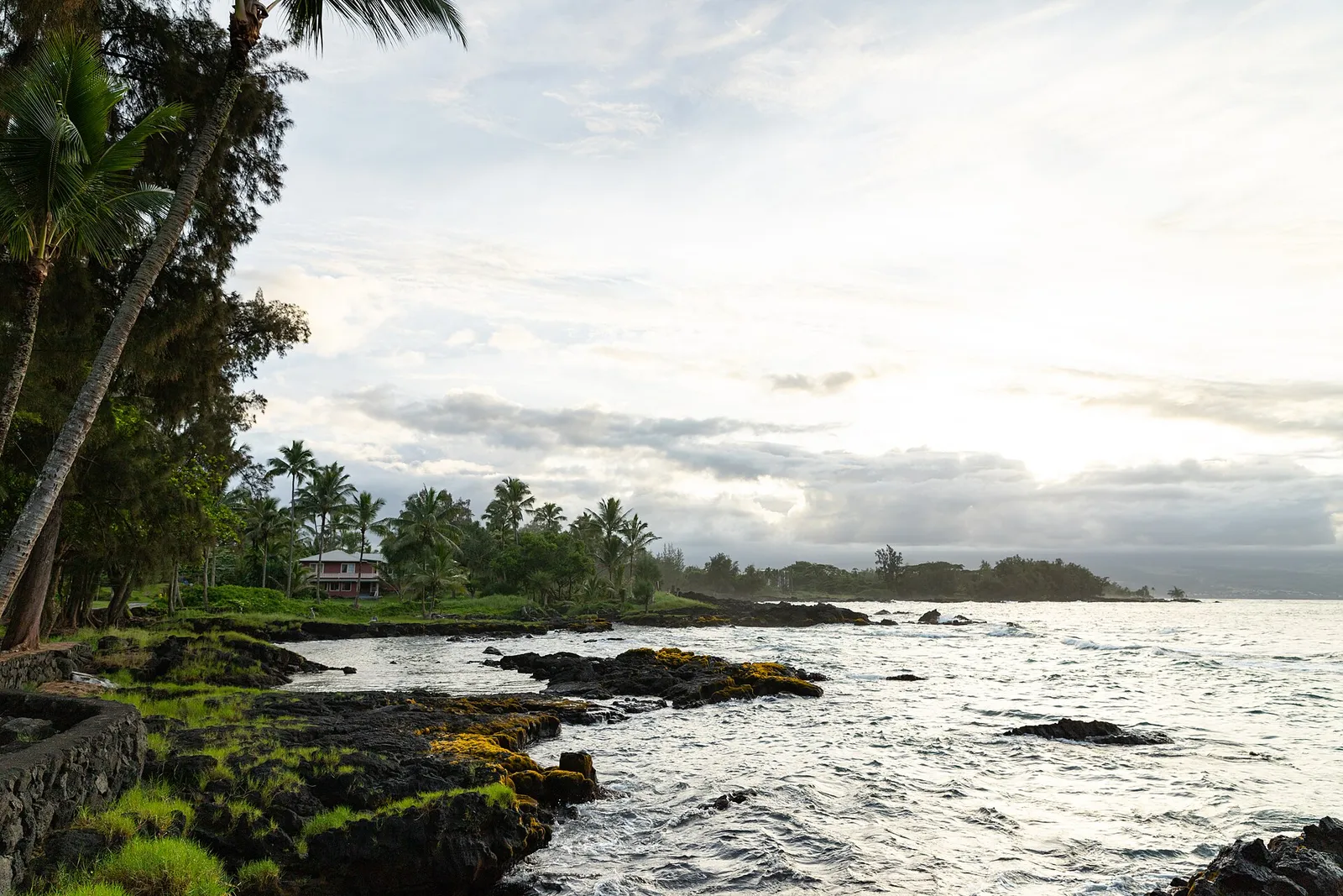
Tropical Storm Moke was about 684 kilometers (425 miles) south of Hilo, on the eastern side of Hawaii Island, at 11am Hawaii Standard Time, with maximum sustained winds of 85km/h (50mph). It was moving west-northwest at 19km/h (12mph), according to Al Jazeera.
The storm is expected to pass south of Hawaii Island overnight and into the morning.
The rain, not the wind
At 85km/h Moke is a tropical storm at the lower end of the scale, and the forecast winds are not the main hazard. The rainfall is.
Forecasters expect 130mm to 250mm (5 to 10 inches) over two days on the southeast and windward sides of the Big Island, with isolated areas reaching 380mm (15 inches). Eastern Maui is forecast to get 76mm to 150mm (3 to 6 inches). The rest of the chain should see less.
Those totals would be significant anywhere. They are more so here because of what happened last weekend.
Ground that is already full
Hurricane Lala struck the islands the previous weekend. It killed at least one person, cut power to nearly 130,000 customers, and dropped more than 1,000mm (39 inches) of rain in places, enough to send rivers over their banks. High winds bent palm trees and brought down power lines.
Soil that has absorbed a metre of rain in a week does not absorb much more. Rain falling on saturated ground runs off instead of soaking in, which is how a second storm that is weaker than the first can nonetheless produce worse flooding. It is also why the same 250mm means something different this week than it would have a fortnight ago.
Casey Oswant, a meteorologist at the National Weather Service's Honolulu office, set expectations carefully: "There will still be impacts, especially to the windward and southeast sides of the Big Island, but it will probably be a little bit more limited than what we saw with Lala."
The state's position
Governor Josh Green was blunt about the compounding.
"It could certainly have a big impact because we've already been hit hard," he said. "We're pre-positioning all kinds of additional equipment and people. I've also authorised 100 rooms, hotel rooms, for people to go to, in case they don't have enough services or protection, safety."
He also flagged what is behind Moke: "Everyone be very careful. This storm will be followed by another storm front about a week later, and we continue to see the impacts of these major weather fronts that have hit Hawaii."
That is the part worth holding onto. A single storm is an event. Three weather systems in three weeks, hitting an island chain where every repair crew, generator and shelter bed has to arrive by sea or air, is a different kind of problem, and it is the one the state is now managing.
What we could not confirm
The report we read does not say which islands are under formal watches or warnings, or which office issued them, and gives no surf forecast. We have not printed a landfall prediction because none was made: the forecast is for the storm to pass to the south.
We verified this account from a single publication.